
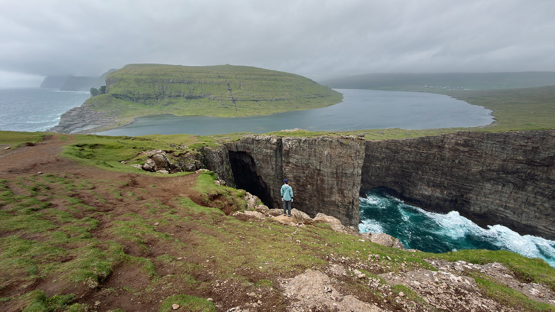
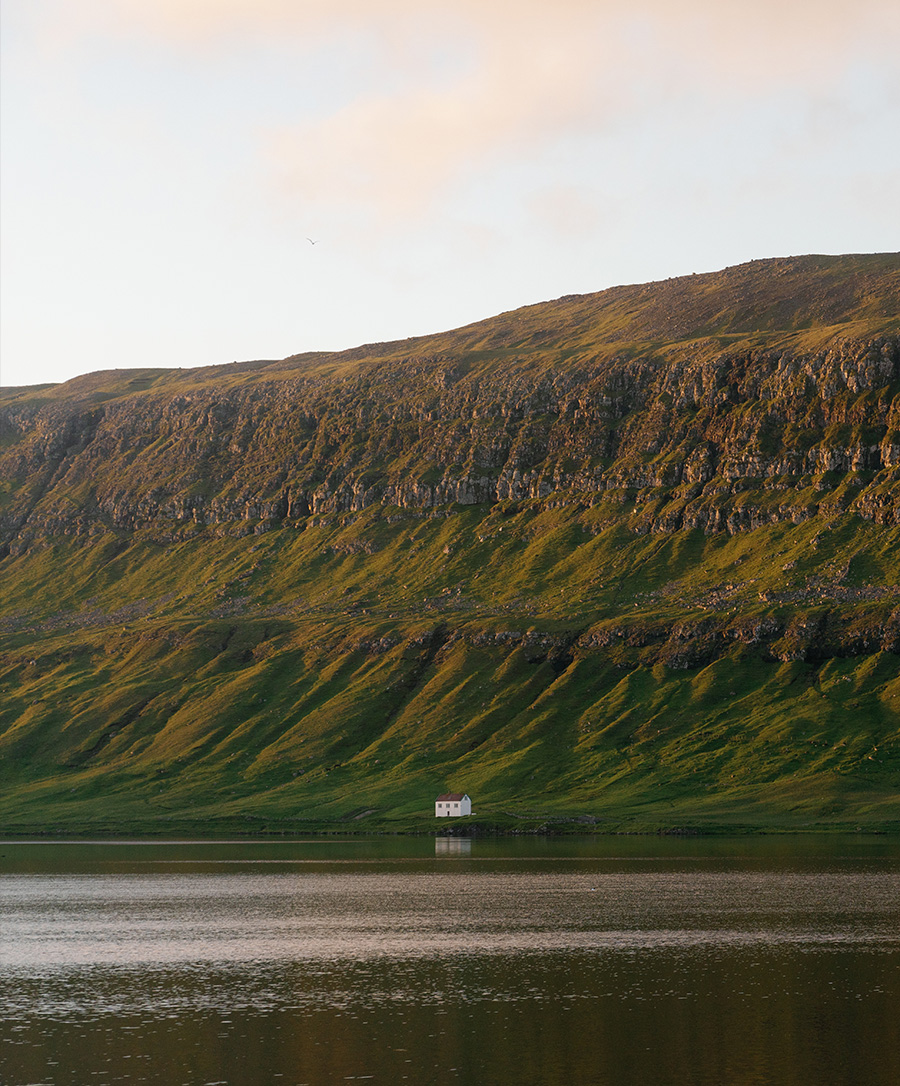
Eighteen islands in the middle of the North Atlantic, closer to Norway than to Denmark, which governs them. The landscape is almost entirely vertical: cliffs drop straight into the ocean, grass-covered ridges rise out of low cloud, and freshwater lakes sit hundreds of metres above the sea, appearing to float. Tórshavn, the capital, records fewer hours of sunshine than any other city on earth, roughly 840 per year. The people who live here have been adapting to this weather for over a thousand years.
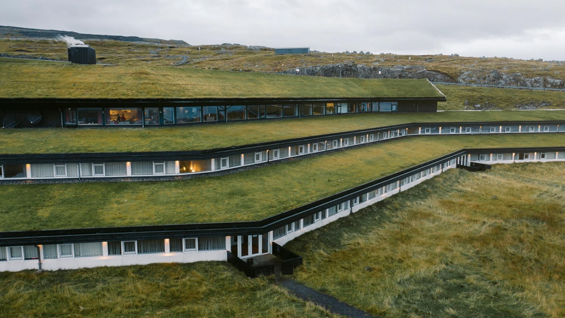
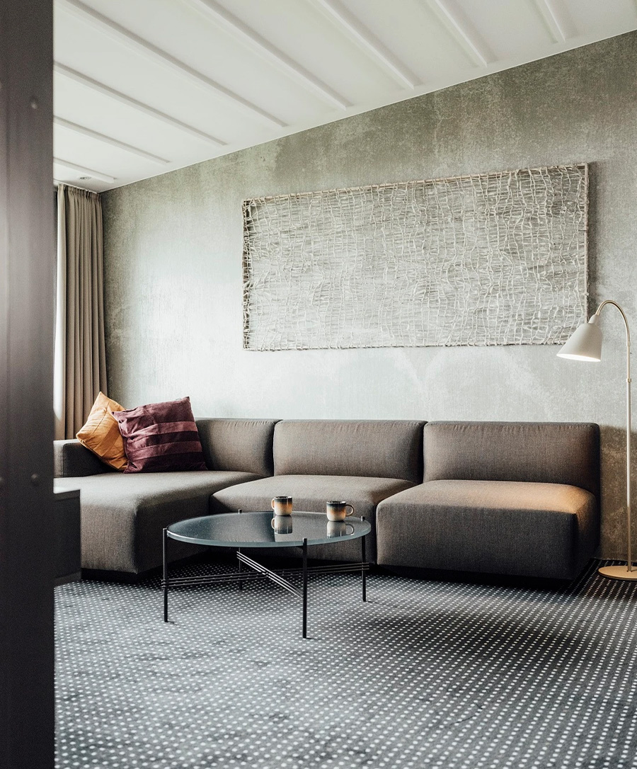
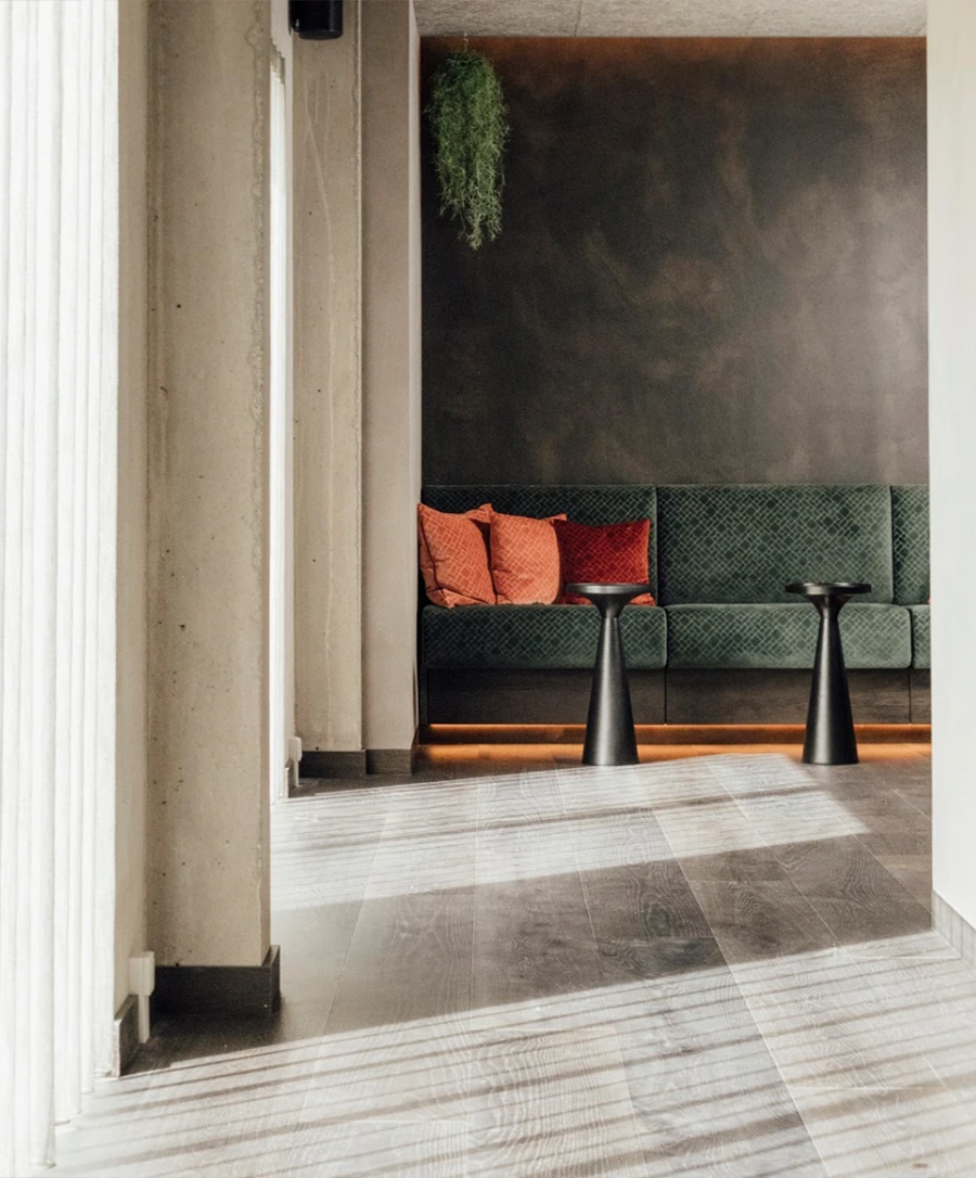
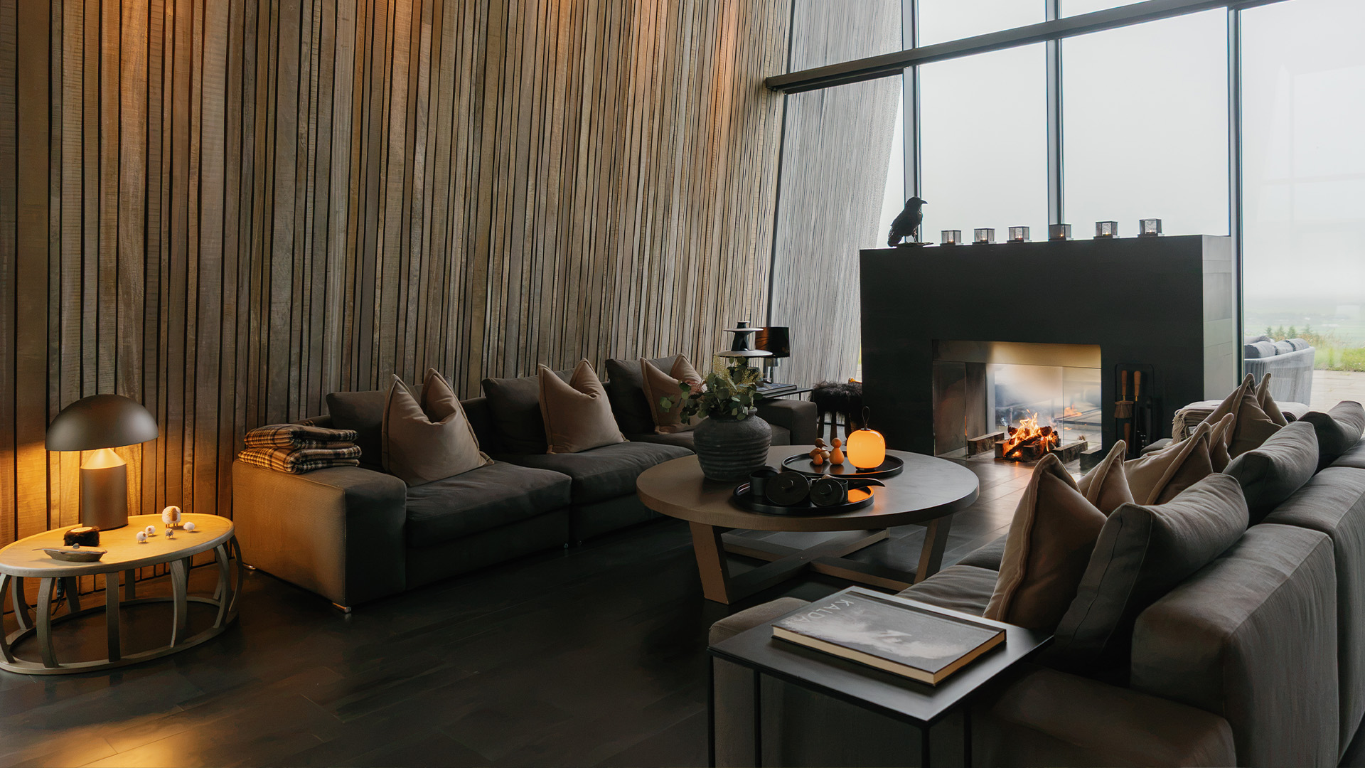
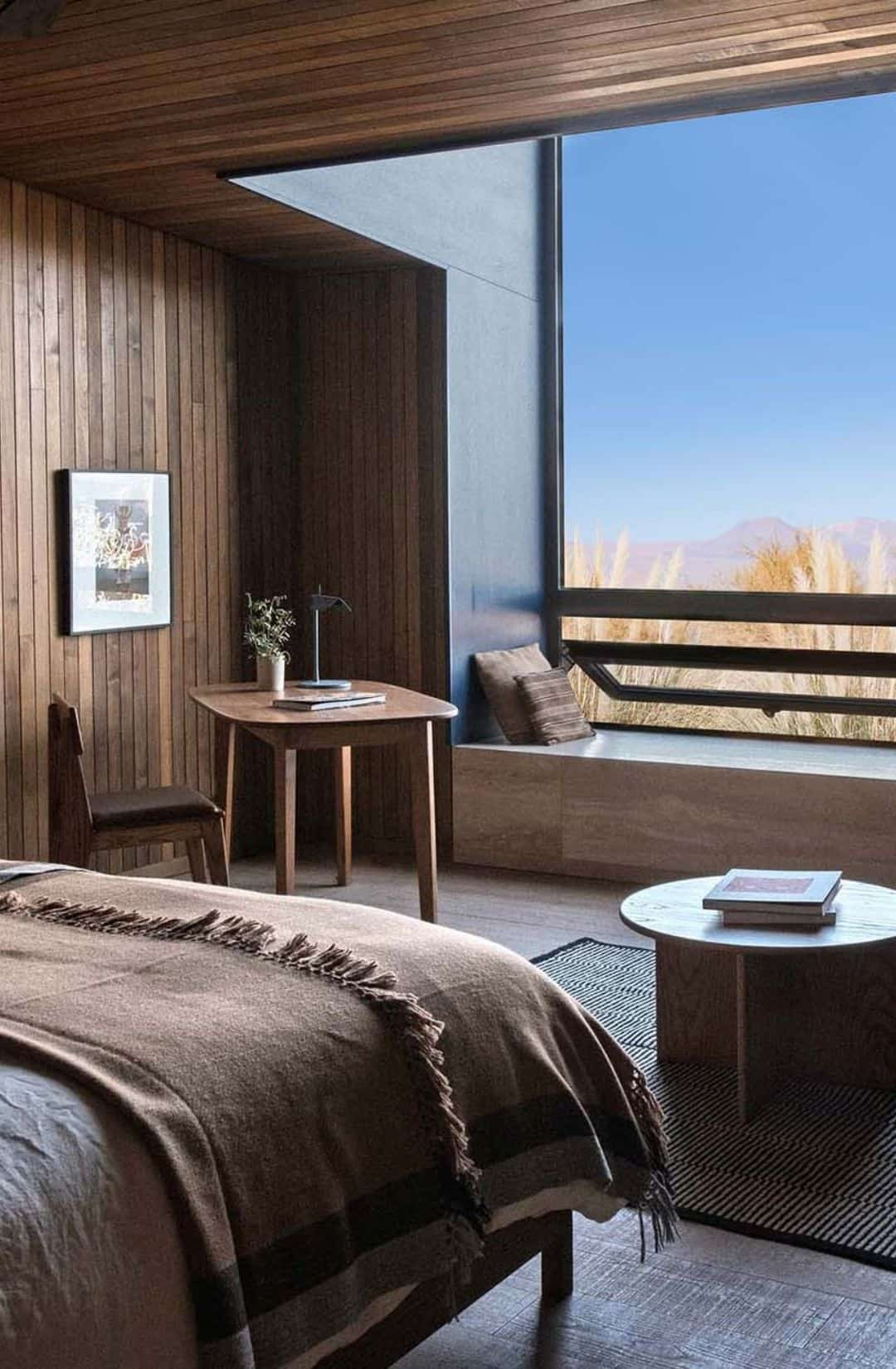
A private villa on the Faroese coast with views across open Atlantic water. Three nights here, with the landscape and the weather pressing in close.
The trail leads to the largest lake in the Faroes, where a sheer cliff creates the illusion that freshwater is suspended above the open Atlantic. At Trælanípa, standing 142 metres above sea level, the contrast is immediate: calm lake above, churning ocean below.


From Sørvágur, we board a boat into the fjord. The rock formations reveal their scale from the water first, rising vertically from the ocean. From above, they shift again: no longer just cliffs, but a sculptural arch standing alone in the Atlantic.
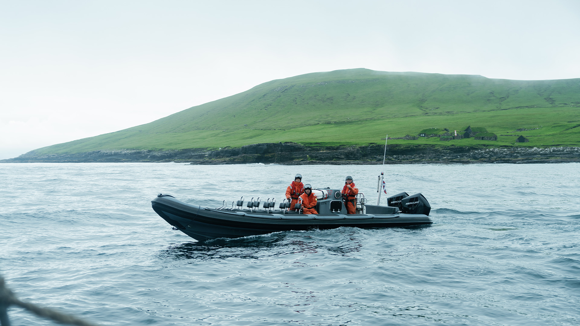
We sail by schooner across open Atlantic water to Koltur, one of the most remote inhabited islands in the Faroes. One man lives here, and he is your guide. He walks us across the island talking about storms, sheep, isolation, and why he chooses to stay. We visit the old settlement at Heima í Húsi: not preserved, simply left as it was.

We enter the sea caves along the Atlantic coast by boat, then swim through cold, clear water inside the rock. The temperature is bracing and the space is tight. This is not a tourist attraction. It is a cave, and you are swimming in it.
We rappel down sea cliffs and kayak along coastline where the rock faces fall straight into the ocean. The Faroes from the water look different than from above: bigger, louder, and closer.
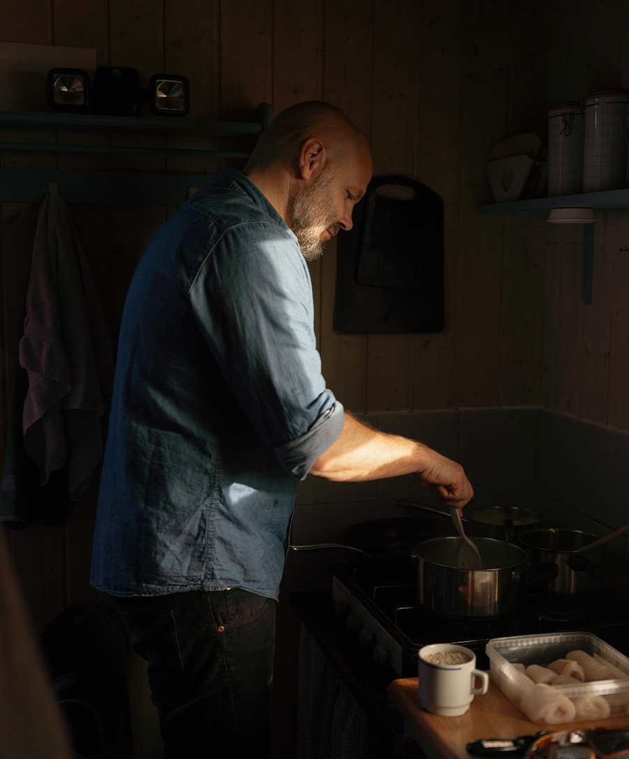
An evening of traditional Faroese food. Skerpikjøt (wind-dried, aged mutton) and ræst kjøt (fermented meat) alongside fresh-caught fish, prepared in the traditions that centuries of isolation built. A culture of fermentation, drying, and smoking, shaped entirely by the weather.
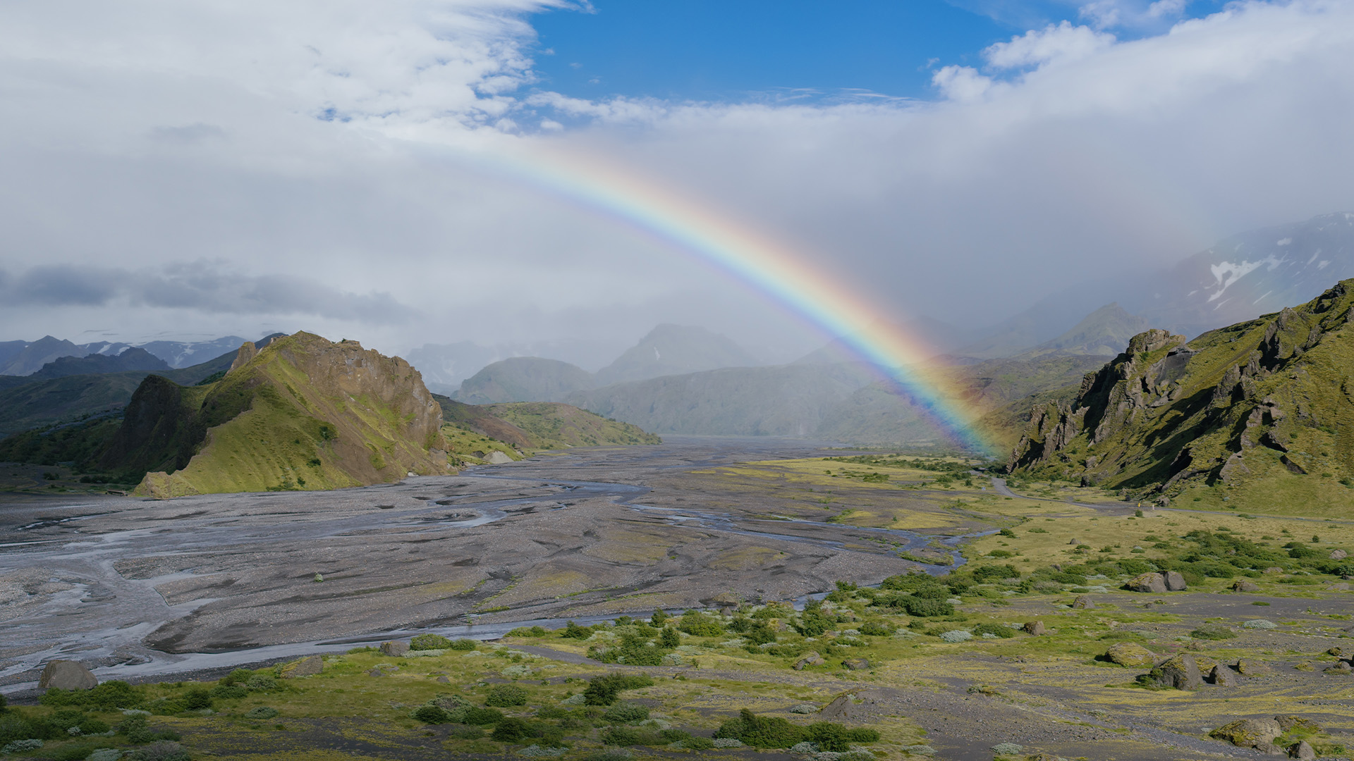
Iceland's south coast and the uninhabited highlands beyond it. The terrain here shifts between moss-covered lava fields, braided glacial rivers, black sand, and volcanic ground that is still warm underfoot. The highlands are inaccessible by normal vehicle, unreachable without a guide, and almost entirely empty.
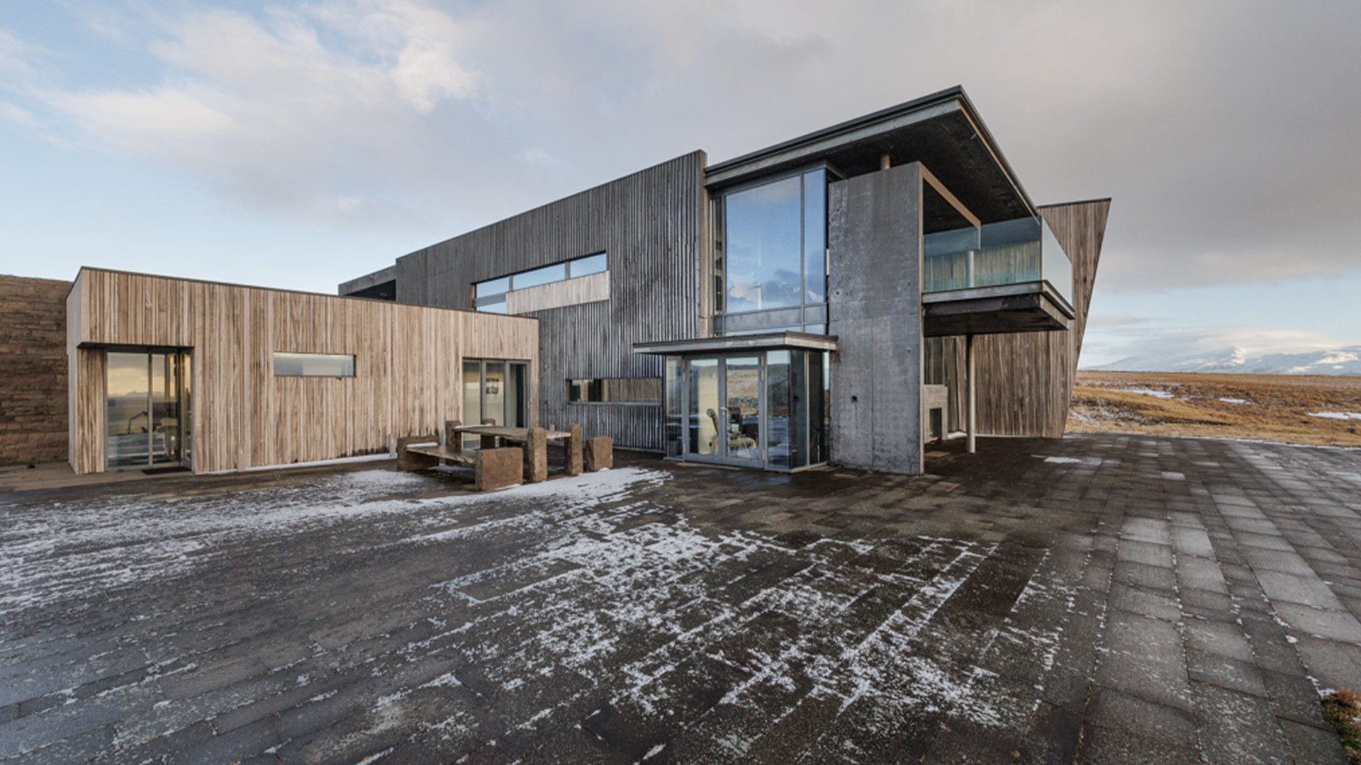
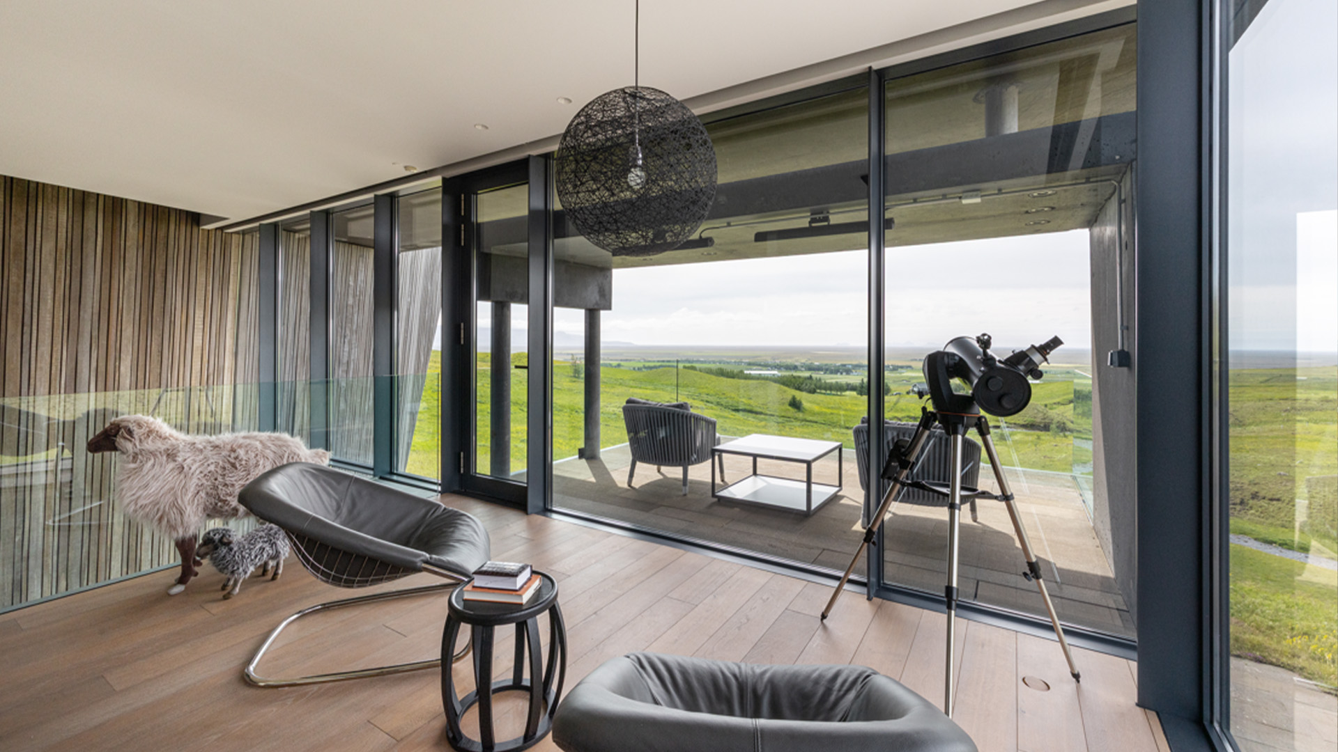
Accommodation in Iceland is being confirmed. A property in the south, connected directly to the highland landscape.
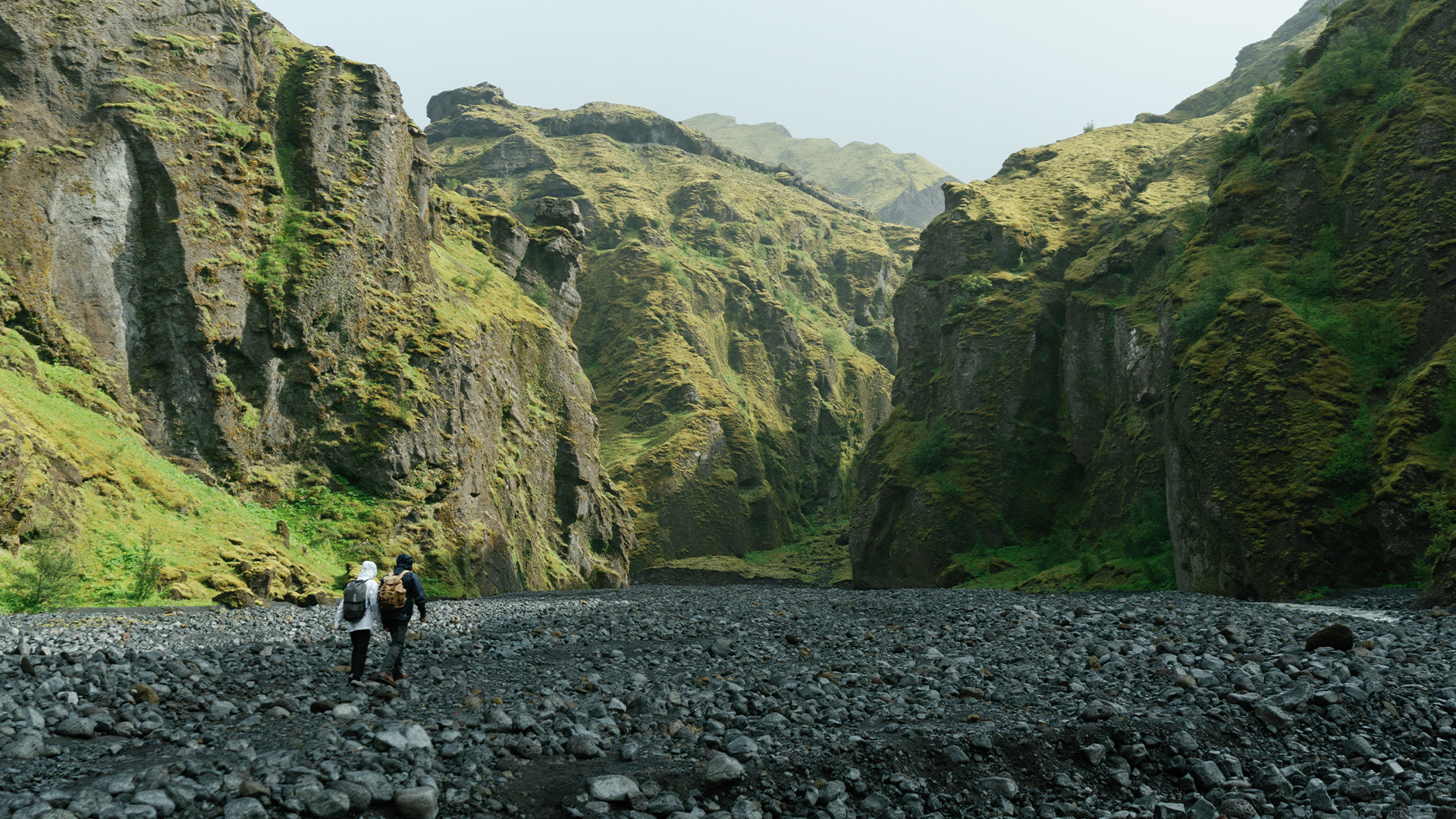
Reaching Þórsmörk is an adventure in itself. The route requires a mountain vehicle to navigate rugged trails and ford shallow glacial rivers. The reward: a secluded valley beneath Eyjafjallajökull, where moss-covered lava, braided riverbeds, and sweeping glacier views converge.
A full day in the uninhabited highlands. Waterfalls, volcanic terrain, and landscape that changes with every kilometre. For those who want it, the option to sit in a natural hot spring, surrounded by open, empty country, with nothing but the sound of wind and running water.
The Arctic begins here. Tasiilaq is the largest town on Greenland's east coast, with a population of roughly 2,000, located about 106km south of the Arctic Circle. The settlement is predominantly Inuit, and it remains one of the most isolated and traditional communities in Greenland. This is the coldest, rawest, and most physically demanding stretch of the journey. We earn it.
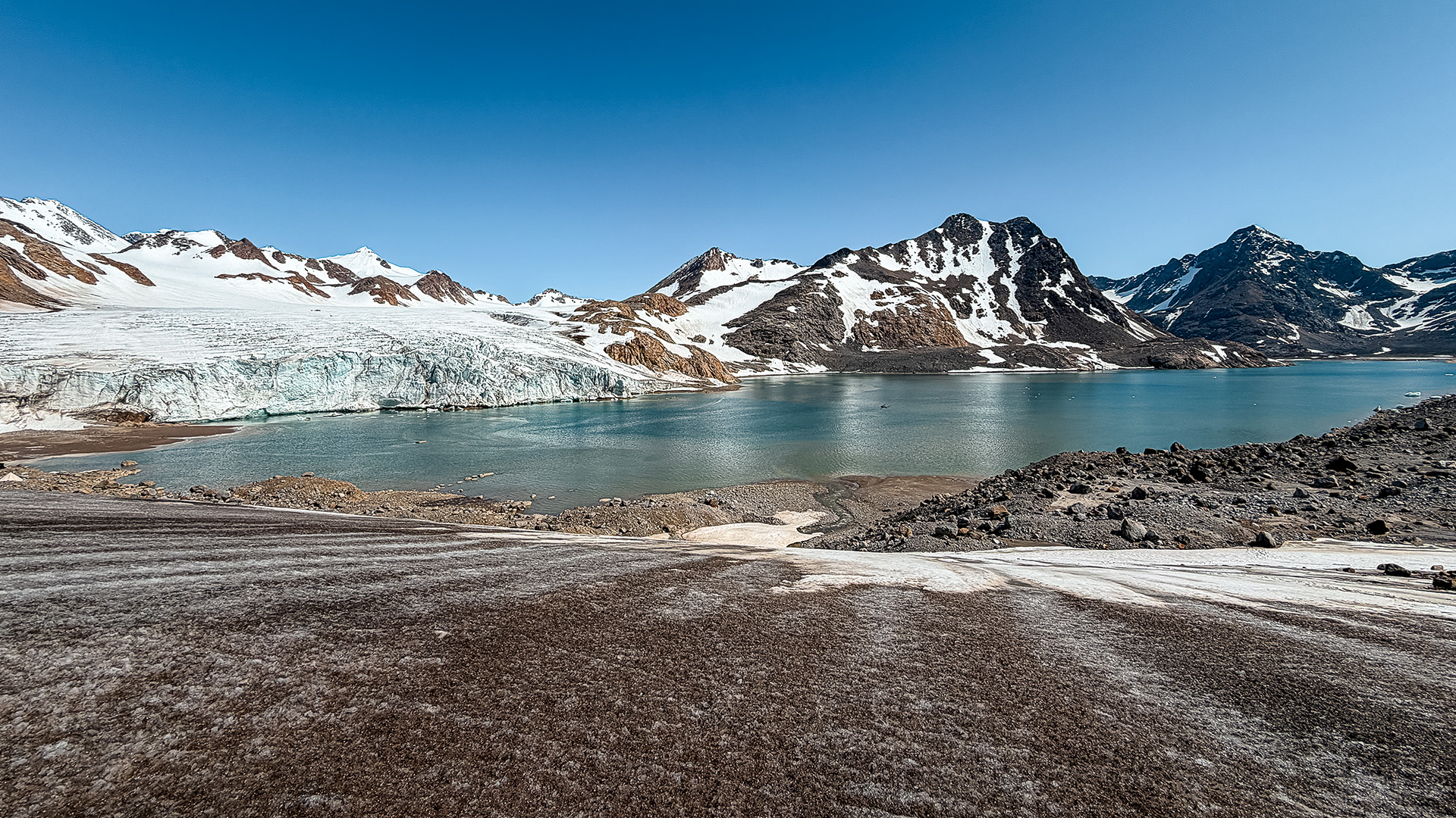
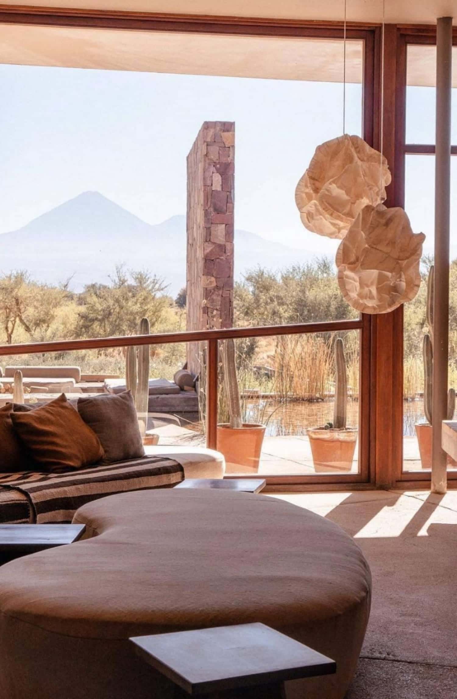
A camp in the Kulusuk and Tasiilaq area, on the edge of the fjord. Remote, elemental, and close to the ice.

We land on a small island to meet Greenlandic sled dogs and the people who depend on them. In East Greenland, the dog team is still a working tool, not a performance. Stories of hunting, storms, and survival from the handlers who have lived this way for generations.
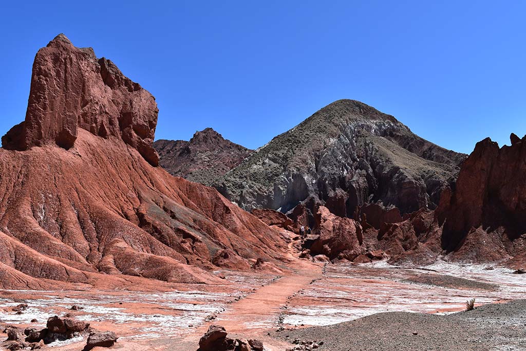
We hike across the glacier with crampons, harnesses, and ice axes, walking over sculpted ice and crevasses before entering a natural meltwater cave. The ice shifts colour as the light changes. Everything here is moving, slowly, under your feet.
After days on the ice, a sauna on the fjord edge. Then a cold plunge into Arctic water, with icebergs drifting past at close range. The contrast is extreme, immediate, and entirely deliberate.


The DC-3 flies across the ice sheet and lands directly on the ice at Raven Airstrip. From there, a walk across open terrain to DYE-2: an abandoned Cold War radar station, part of the Distant Early Warning Line built in the late 1950s to detect Soviet air attacks over the pole. It was abandoned in 1988 and left remarkably intact. Furniture, tools, and personal items are still in place. The dart is still in the dartboard.

Ilulissat Icefjord was declared a UNESCO World Heritage Site in 2004. It is the sea mouth of Sermeq Kujalleq, one of the fastest-moving glaciers on earth, advancing up to 40 metres per day. Its annual calving accounts for roughly 10% of all Greenland's calf ice, more than any other glacier outside Antarctica. The icebergs that drift through Disko Bay are the visible output of a process that has been running for thousands of years.
Located just outside Ilulissat with uninterrupted views over Disko Bay and drifting icebergs. A modern Arctic hotel with direct access to the UNESCO-listed Icefjord area.


The waters around Ilulissat are feeding grounds for humpback and fin whales through the summer months. We watch from the water, close enough to hear them breathe.

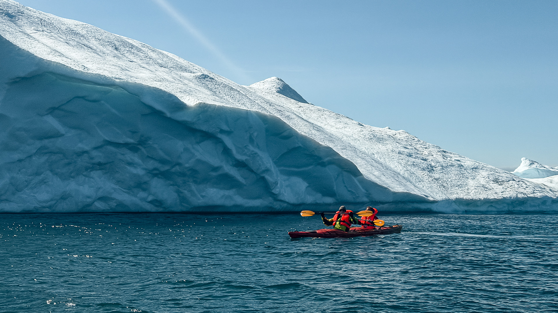
We paddle out on stand-up boards and kayaks into Disko Bay, moving slowly between drifting icebergs. The scale only registers when you are at water level, looking up at ice that calved from a glacier moving forty metres a day.


The world's second-largest fjord system, cutting deep into mountains where the only sounds are water, wind, and the occasional crack of distant ice. Camp Kiattua sits at the heart of it. Three nights here is the longest stay of the journey, and the most immersive. The rhythm slows down. We fish, forage, paddle, and cook what we catch.
Deep within the Nuuk Fjord system. Five guest tents, surrounded by mountains and open water. Quiet, intimate, and genuinely remote. Meals are built around what the fjord provides: Arctic cod, sea urchins, foraged greens.


We kayak the fjord, fish for cod by hand, and gather sea urchins from the rocks. Where conditions allow, we step onto drifting ice with crampons and life vests. The days here are shaped by the water and the weather, not a fixed schedule.


We boat to a deserted island in the fjord for a day of exploration and foraging. The catch and the gather are cooked over open fire, Greenlandic BBQ, on a beach with no footprints but ours.

A hike across the island to a waterfall set deep in the landscape. Tundra, rock, and uninterrupted views in every direction.

Around the campfire at Camp Kiattua, a ceremony rooted in Inuit beliefs, nature, and Arctic survival. It marks the opening or closing of the journey, depending on your direction of travel.
